Ubotica predicts where risk is rising across the maritime domain, directs satellites and sensors to investigate, establishes what is really there, and delivers intelligence nations can act on. Orbital AI runs the loop, in orbit and on the ground. Flight-proven.
A nation’s maritime domain can span millions of square kilometres. The sensors monitoring it generate more data than any team can process, and by the time that data is downloaded, fused and analysed, the vessel that matters may be gone.
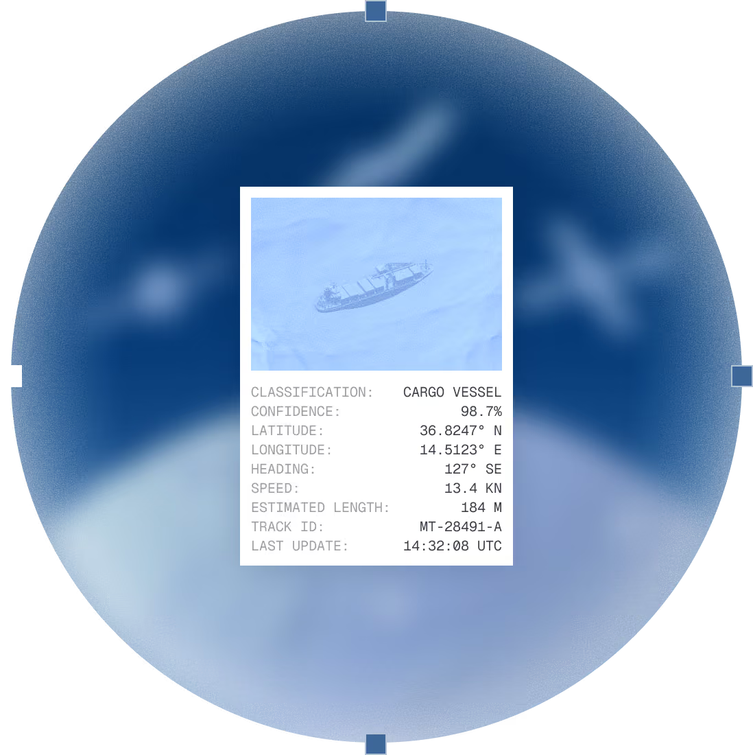
Ubotica answers the same two questions for every navy: where risk is rising in your waters, and what is really there. A short list of priority contacts, evidence attached, while there is still time to act.


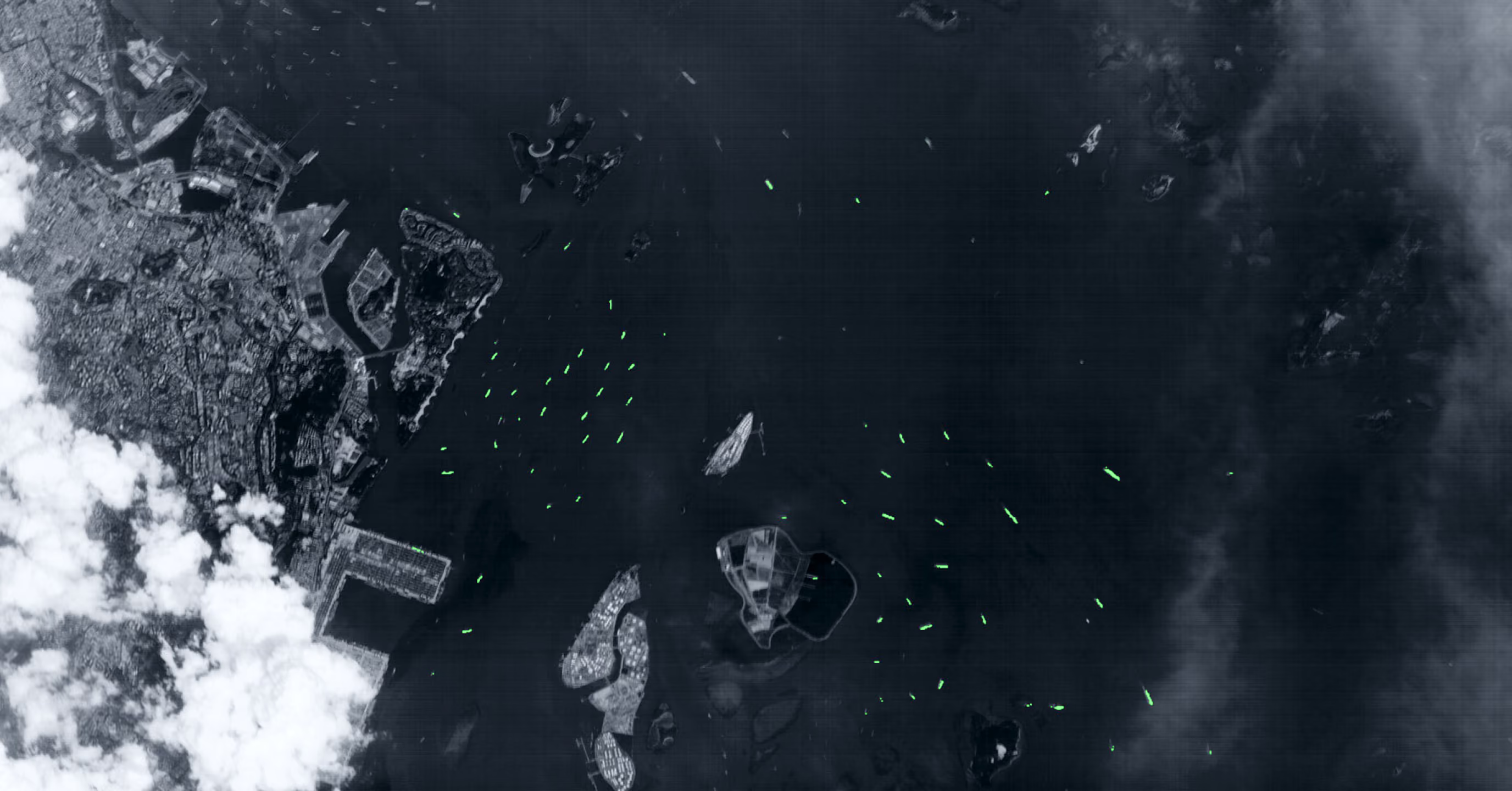
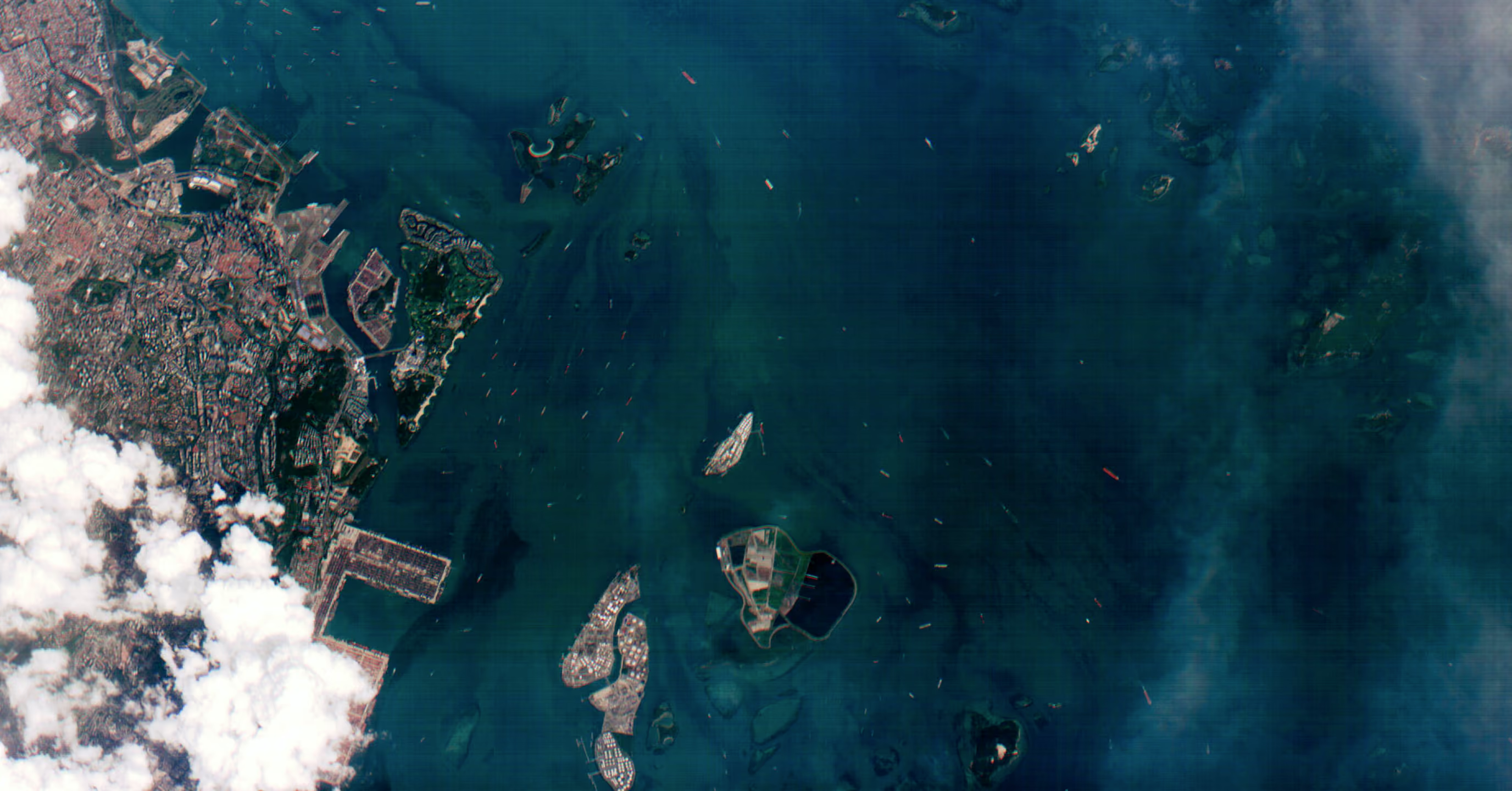
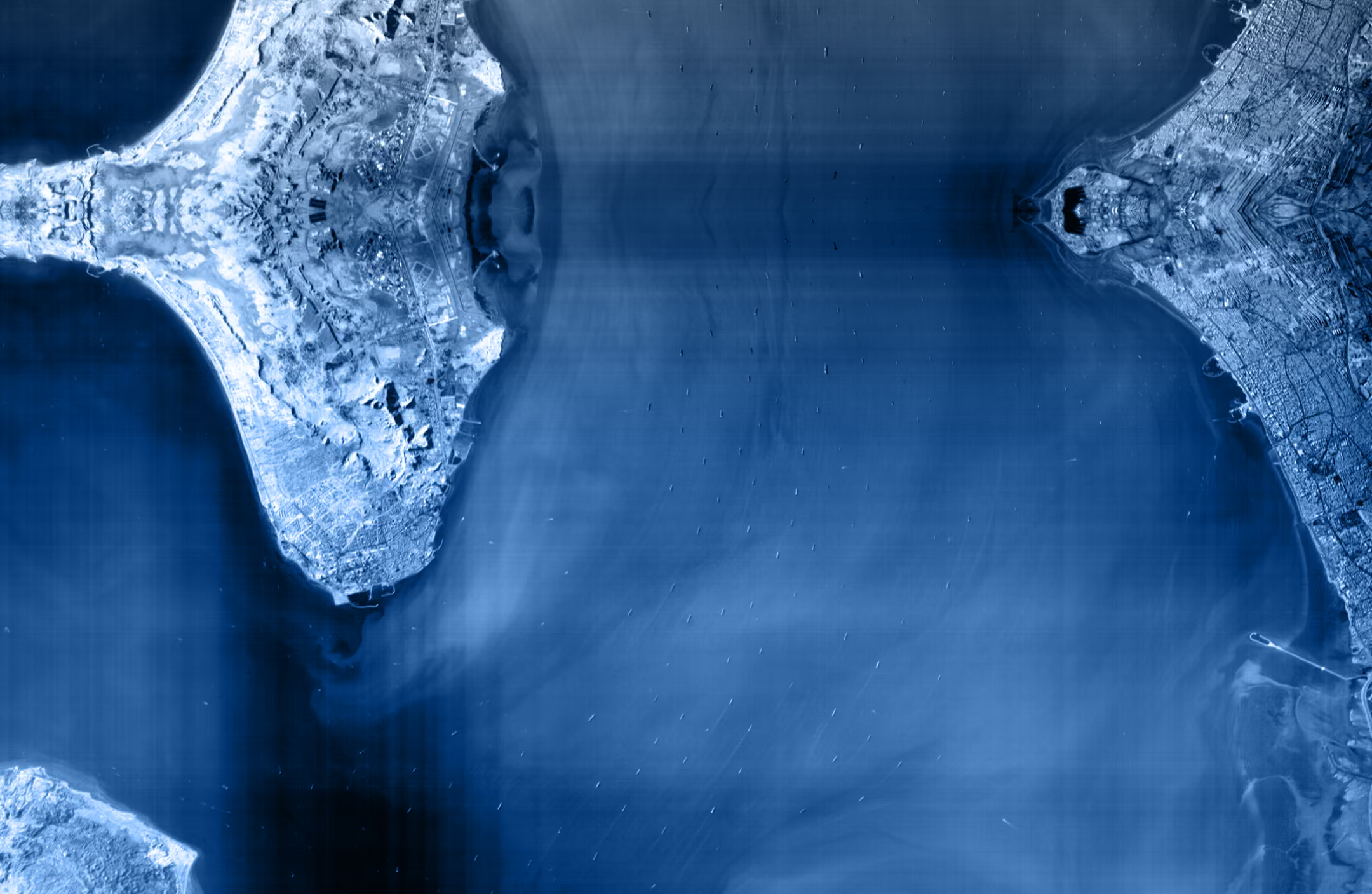
Singapore, February 2025. A single observation detected and classified hundreds of vessels—including one operating dark (no AIS signal). Time to insight: minutes.


Live Maritime Intelligence
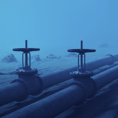
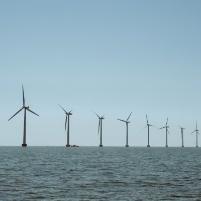
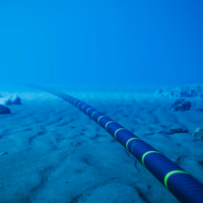
LMI protects the cables, pipelines, offshore energy assets and sea lanes nations depend on. It identifies threats across the maritime domain, especially the vessels working hardest not to be seen.
One intelligence loop. From sea to orbit and back.
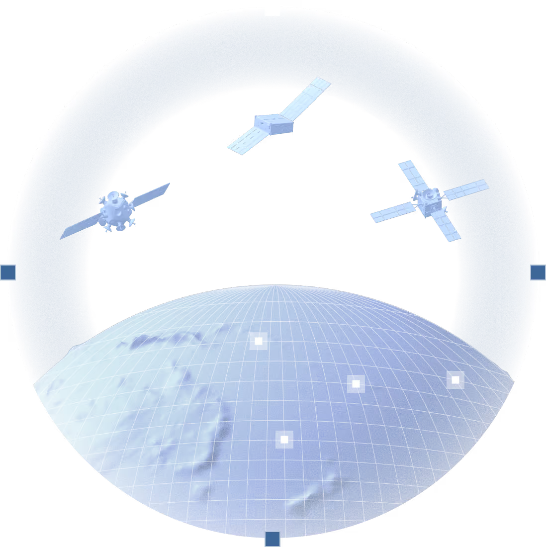
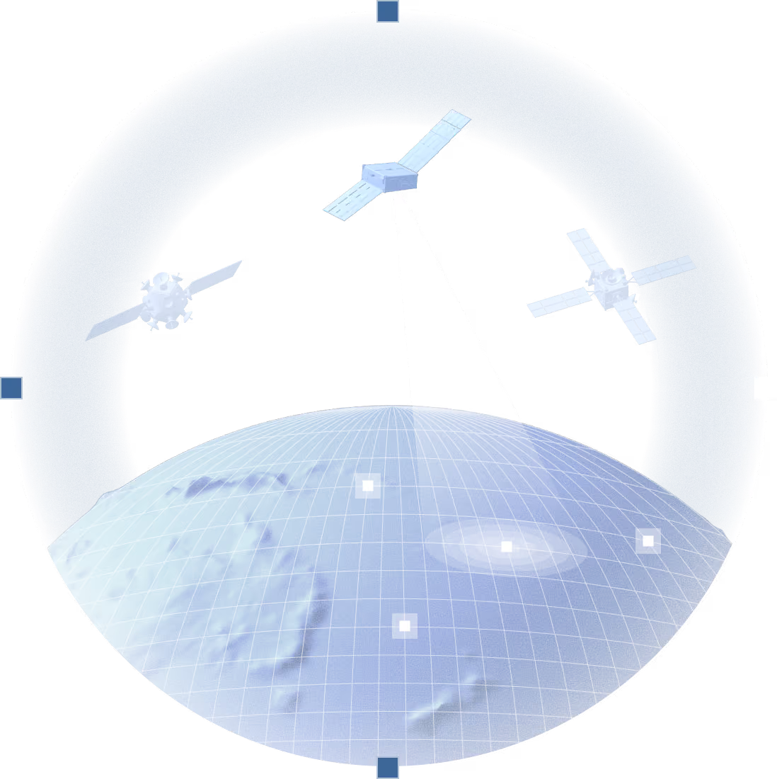
Most maritime systems wait to be told where to look. LMI decides for itself, using satellites and sensors already overhead, and returns evidence in minutes rather than days. The whole sensor web behaves as one, and every pass sharpens the next prediction.
Ubotica runs AI across the whole chain, from the ground systems that plan collection to the models running on the satellites themselves.
30+ Earth Observation models deployed in orbit · 12 missions flown · 100% mission success · Hundreds of thousands of in-orbit inferences. This isn't a roadmap. It's flight heritage.
With NASA's Jet Propulsion Laboratory, Ubotica built the first spacecraft to detect a target, judge that it mattered, and retask itself for a closer look without waiting for ground control.
.avif)
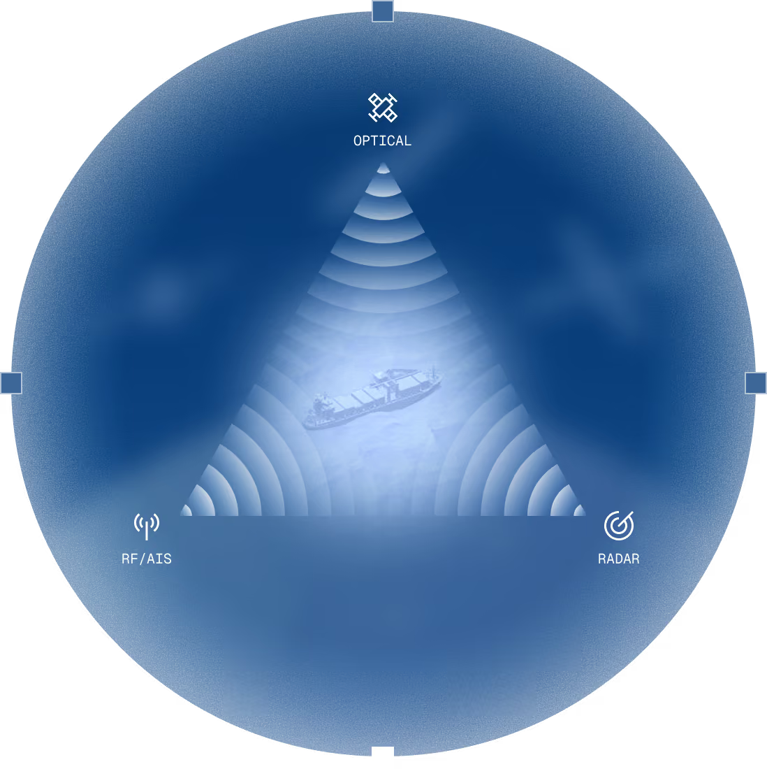
LMI draws on hundreds of taskable satellites across optical, SAR and RF, alongside AIS and other third-party data. You get the reach of a constellation without owning one, and the right sensor for each question, not simply the one available.
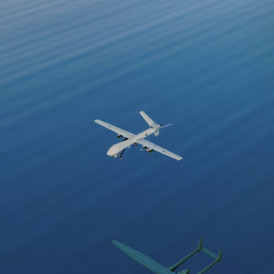
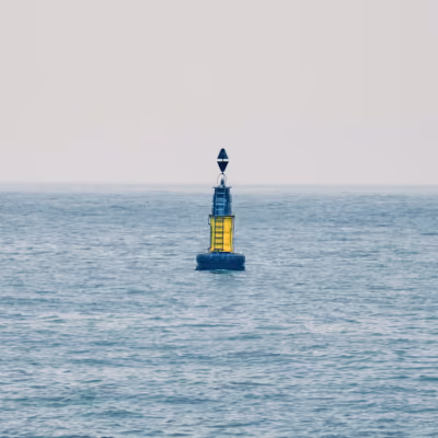
The architecture is open by design. Airborne, surface and seabed sensors, national constellations and existing coastal radar can join the same web, so what you already operate strengthens the picture instead of duplicating it.