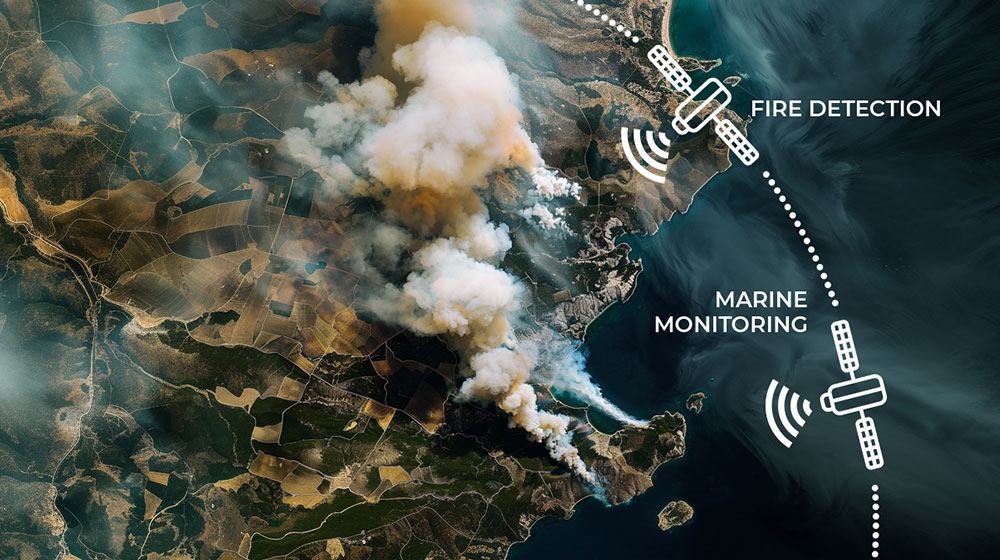
Google has launched FireSat, a satellite constellation designed to detect wildfires as small as a classroom-sized area (5×5 meters) within 20 minutes. This initiative, supported by $13 million in funding from Google.org, aims to improve wildfire detection and response times using advanced infrared sensors and AI. FireSat will provide real-time updates, helping emergency teams respond faster and create a global database to better understand wildfire behavior. The first satellites are set to launch in 2025.
Overcoming Data Limitation
Ubotica has spent years researching this problem. Cristopher Castro Traba, a MSc intern at Ubotica, in collaboration with ESA, Ubotica, and Delft University of Technology, is focusing on AI models for real-time fire detection onboard satellites.
A key challenge in developing such models is the lack of access to raw satellite data. Christopher’s work introduces a novel way to create datasets for detecting events like wildfires directly from raw satellite data. This approach processes raw data, applies algorithms to detect events, and then maps these detections back onto the original images. They applied this approach on THRawS (Thermal Hotspots in Raw Sentinel-2 data), the first dataset of Sentinel-2 raw data containing warm thermal hotspots which includes 1090 samples containing wildfires, volcanic eruptions, and 33,335 event-free acquisitions to enable thermal hotspot detection and general classification applications. The goal is to enable energy-efficient, AI-powered processing directly on EO satellites.
Faster and More Efficient Detection with Edge-AI
In a separate program, a research project undertaken by the University of South
Australia (UniSA), Swinburne University of Technology (Swinburne), and Geoscience Australia
(GA) utlising Ubotica’s CogniSat platform, demonstrated that onboard AI can detect fires significantly faster and more efficiently than traditional ground-based analysis. Key findings include:
- Speed: Onboard AI can detect fires in just 1.6 seconds – 504 times faster than ground-based analysis.
- Efficiency: AI onboard significantly reduced the data downlink volume to just 16% of its original size.
- Accuracy: The VIB_SD model achieved 95% accuracy in smoke detection.
- Testing: The system was rigorously tested using simulated satellite data, considering various real-world factors.
- Future Plans: An in-orbit demonstration is planned aboard the Kanyini CubeSat mission.
Conclusion
These advancements in onboard AI processing for wildfire detection are a game-changer for disaster management, enabling quicker response times and potentially saving lives and property.
