Live Earth Intelligence: Earth Observation 2.0
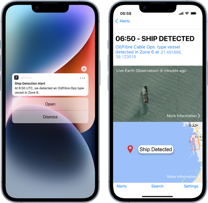
Live Earth Intelligence delivers Earth Observation insights instantly – no more waiting days for image processing. It’s like having a constant eye in the sky, providing immediate, actionable information for superior decision-making about your part of the planet.
SPACE:AI: Unlocking real-time Insights
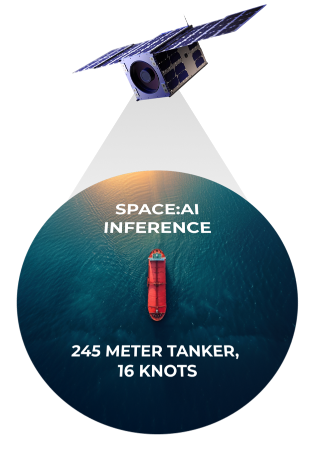
Live Earth Intelligence is powered by the end-to-end SPACE:AI framework.
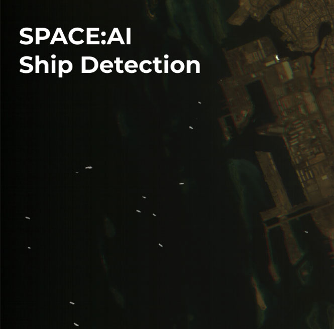
By training and deploying custom models tailored to specific imagers and tasks (like ship detection), SPACE:AI unlocks real-time Edge AI analysis onboard the satellite, and delivers instant insights directly to users on Earth.
CogniSAT-6: THE WORLD’S FIRST LIVE EARTH INTELLIGENCE MISSION
CogniSAT-6 is unique in its combination of SPACE:AI’s real-time onboard analysis, hyperspectral vision for detailed object composition assessment, and continuous communication with Earth through inter-satellite links, delivering unprecedented real-time insights into our planet.


Instant Insights from Space
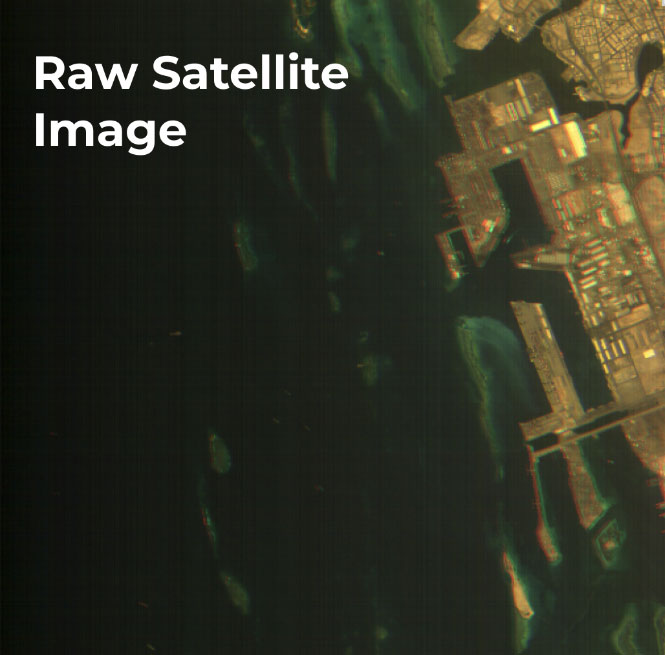
Take this raw satellite image of the ocean near a major shipping port. The task: detect and classify all ships in the area. Can you see them?
Beyond Single Vision:
SPACE:AI’s Multi-Modal Approach
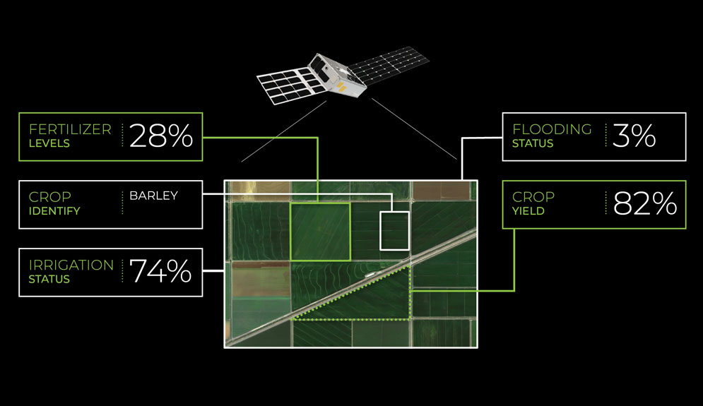
SPACE:AI excels at easily training and running multiple models tailored to specific tasks. Take insights for crop performance. SPACE:AI can first detect cloud cover to determine image usability.
Then, on the same image, it can classify crop types, update yield analyses, assess fertiliser levels, evaluate flood status, and identify pest or disease outbreak signs.
