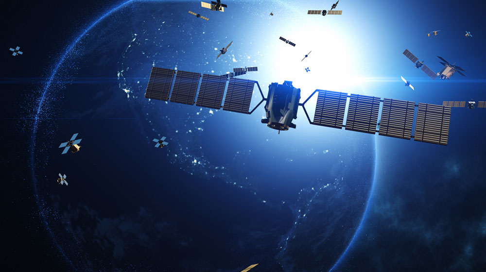
Earth Observation 1.0
Today’s Earth Observation satellites are fundamentally data collectors.
They don’t understand what they’re observing; they simply gather data and downlink it all when passing over a ground station. But what if they could understand what they’re seeing?
With SPACE:AI, they can.
SPACE:AI: Smarts for Smart Satellites
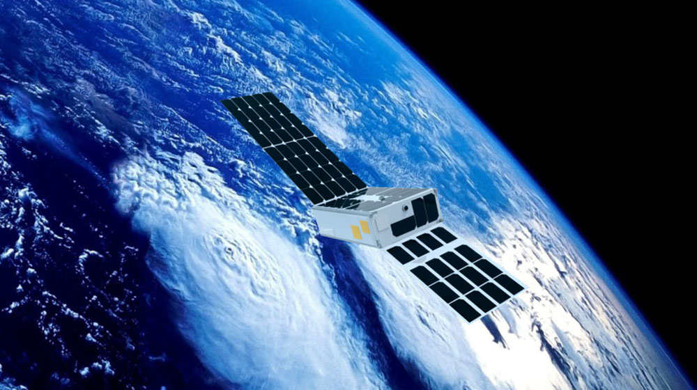
SPACE:AI enables satellites to realise their true potential in Earth Observation. Our flight-proven, end-to-end edge AI platform empowers satellites with real-time data processing, slashes operating costs, expands revenue opportunities, and unlocks autonomous operations.
Reduce Download Costs 85%
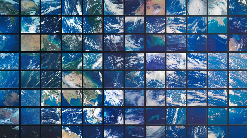
An estimated 95% of EO images are not valuable due to cloud cover or just empty ocean. SPACE:AI’s Cloud Removal and Compression application processes imagery onboard, intelligently ignoring cloud-covered images and compressing the remaining data. This reduces download costs by up to 85%, delivering only the most valuable and actionable data, and maximising ROI.
Unlock Live Earth Intelligence
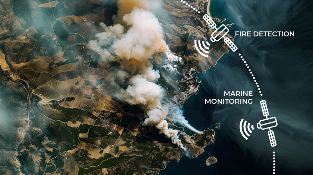
Maximise Utilisation and Revenue with Dynamic Re-tasking
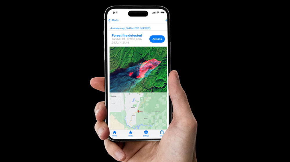
Dynamic Re-tasking enables EO satellites to adapt their tasking mid-orbit to serve multiple missions. For example, a satellite can monitor marine health over the ocean and watch for wildfires over land all in one pass. This capability maximises utilisation and broadens revenue streams.
Autonomous Situational Awareness with AI Vision
