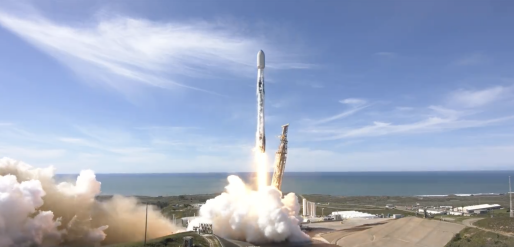
SpaceX Transporter 10 (image courtesy of SpaceX)
Vandenberg Air Force Base, CA – 4th March 2024
– Ubotica, a pioneer in autonomous SPACE:AI-enabled satellite technology, today successfully launched its groundbreaking CogniSAT-6 mission onboard SpaceX’s Transporter 10. CogniSAT-6 will revolutionise Earth Observation, providing actionable Live Earth Intelligence for real-time decision-making.
Redefining Earth Observation
This mission leverages Ubotica’s partnership with Open Cosmos, who designed and built the satellite which is called Hammer (Hyperspectral AI for Marine Monitoring and Emergency Response). The CogniSAT-6 mission with the Hammer satellite marks a revolution in Earth Observation, combining onboard AI with live communications to stream Live Earth Intelligence directly to users. This unprecedented capability empowers immediate analysis and action across various industries. The mission combines several innovations:
Onboard AI unlocks Live Earth Intelligence:
Traditional Earth Observation faces a critical limitation: images are captured and sent to Earth, where processing can take days. CogniSAT-6 revolutionizes this process by integrating onboard image processing and AI inference, bringing intelligence directly to the satellite to unlock real-time insights.
Hyperspectral vision:
The high-resolution hyperspectral camera reveals the chemical makeup of objects. This information is crucial in applications like precision agriculture (crop health), environmental monitoring (pollution detection), and infrastructure assessment (material composition).
Continuous connectivity:
Inter-Satellite Links maintain a real-time two-way data flow, enabling immediate transmission of actionable insights within minutes. Today, getting insights from space takes hours and days.
Autonomous intelligence:
CogniSAT-6 analyzes data as it is collected, unlocking insights. For example, if an oil spill is suspected, the satellite can independently task other satellites for closer inspection.
Interactive insights:
A dedicated mobile app allows users to interact directly with CogniSAT-6. Receive alerts, view tailored data, and send commands to refine observations in real time.
Applications of Live Earth Intelligence
CogniSAT-6 has the potential to transform numerous sectors:
- Precision agriculture: Farmers can monitor crop health, optimize irrigation/fertilization, and maximize yields with up-to-the-minute data.
- Disaster response: Respond immediately to floods, fires, and other events, enhancing coordination and saving lives.
- Maritime monitoring: Detect illegal fishing, track vessel movements, and improve maritime security with real-time intelligence.
- Energy infrastructure: Monitor pipelines, power grids, and renewable energy installations, optimizing maintenance and preventing failures.

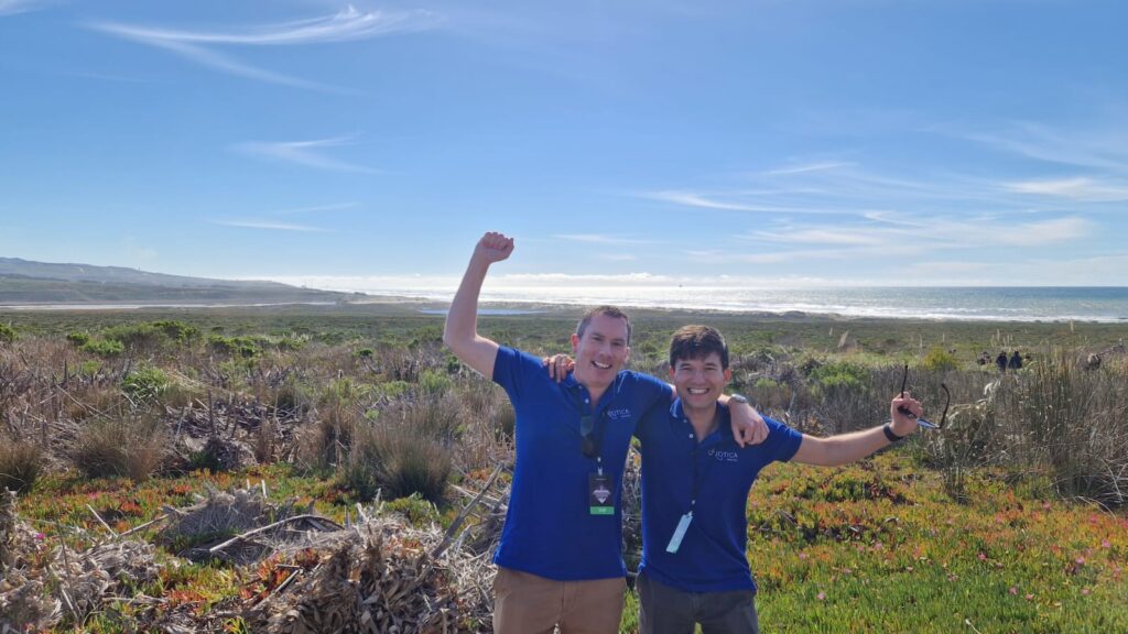
Aubrey Dunne, Co-Founder and CTO of Ubotica, and David Rijlaarsdam at the launch of Transporter 10 at Vandenberg Air Force Base
Fintan Buckley, CEO at Ubotica, commented:
“Just as AI transforms life on Earth, SPACE:AI will revolutionize how we understand Earth in real-time. CogniSAT-6 empowers users with Live Earth Intelligence, transforming how we interact with our planet. It combines onboard AI, real-time satellite communication, and adaptable observation strategies for immediate, actionable insights.”
Sean Mitchell, Chief Commercial Officer at Ubotica, added:
“CogniSAT-6 is the first satellite directly connected to users through a mobile app. This empowers users with real-time alerts and data tailored to their needs. The two-way communication allows them to send commands back to the satellite, requesting closer observations or directing it to new areas. This revolutionizes Earth observation, shifting from broad data collection to targeted, real-time problem-solving that addresses urgent user requirements.”
Open Cosmos Partnership
This mission leverages Ubotica’s partnership with Open Cosmos, who designed and built the satellite which is called Hammer (Hyperspectral AI for Marine Monitoring and Emergency Response). Sharing a vision for the disruptive potential of Space 4.0, this mission marks another successful collaboration between the two companies. The HAMMER satellite will acquire, process, compress, store, and forward medium-resolution hyperspectral imagery specifically focused on the Atlantic coastal and maritime areas.
